Field measurement
Ditch the measuring wheel
Tap to mark points, lines, and areas on the map. Automatic measurements, automatic calculations — done in seconds instead of minutes.
No credit card required±1 cm RTK accuracy
- faster than a measuring wheel
- 6×
- transcription errors
- 0
- RTK positioning
- ±1 cm
- not minutes per feature
- Seconds
Key features
Everything you need to measure in the field
One tap replaces the wheel, the clipboard, and the office transcription.
One-tap points
Mark locations instantly by tapping the map — each point lands at survey-grade accuracy.
Lines & areas
Draw polygons and lines; perimeters and areas are measured as you go.
Automatic calculation
Areas and lengths are calculated in real time — no formulas, no spreadsheets.
Add attributes
Attach descriptions, categories, and custom fields to any feature.
Photo attachments
Link geotagged photos to any captured point, line, or area.
Templates
Start from predefined feature templates for your recurring field tasks.
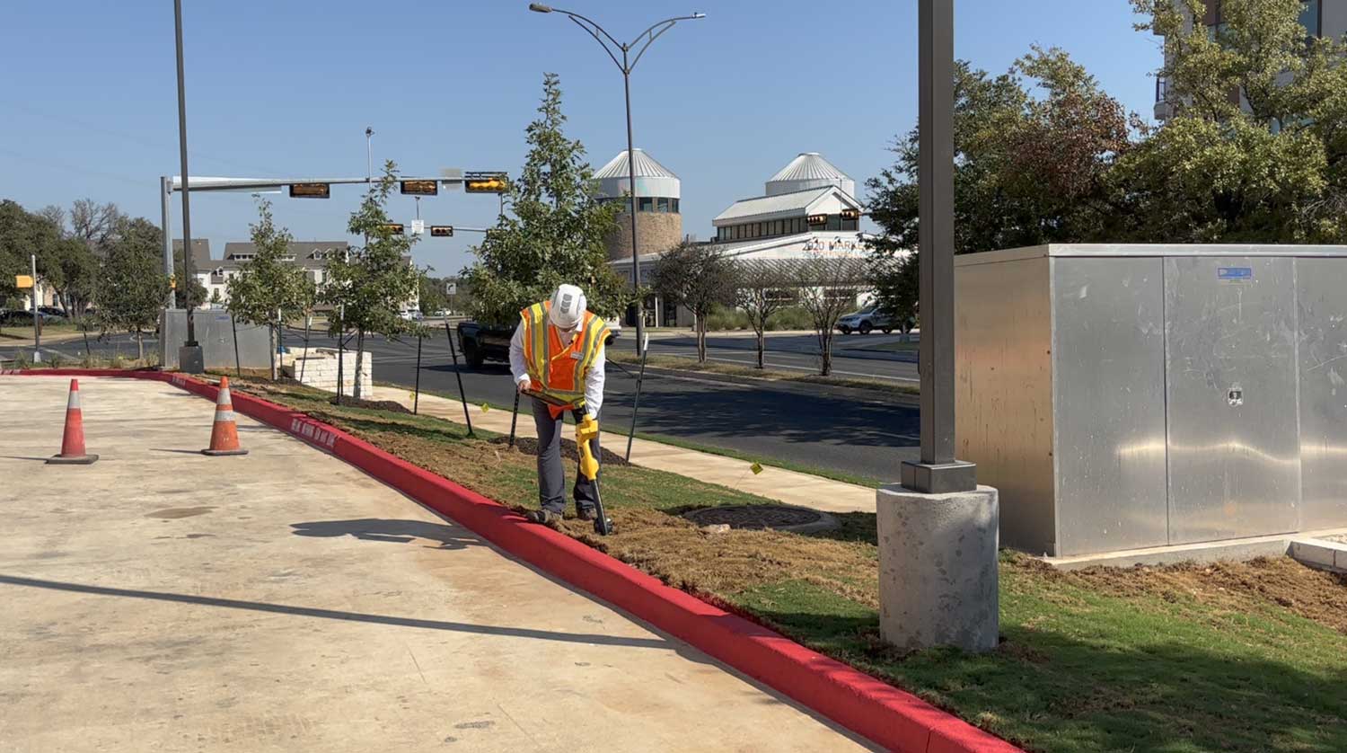
In the field
One tap replaces the wheel — crews capture more and walk less.
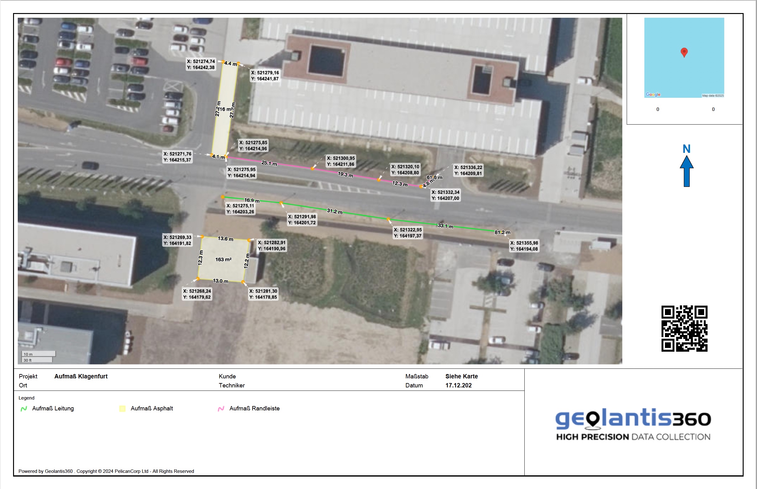
Why teams love it
Faster in the field, clean in the office
Crews capture more per day and the data lands ready to use — no re-keying, no guesswork.
6× faster
than measuring-wheel surveys
Zero re-keying
no paper-to-computer errors
Report-ready
measurements export straight to reports
Anyone can do it
accurate capture without training
Ready to ditch the wheel?
Start your free trial today. No credit card required.